Dampier
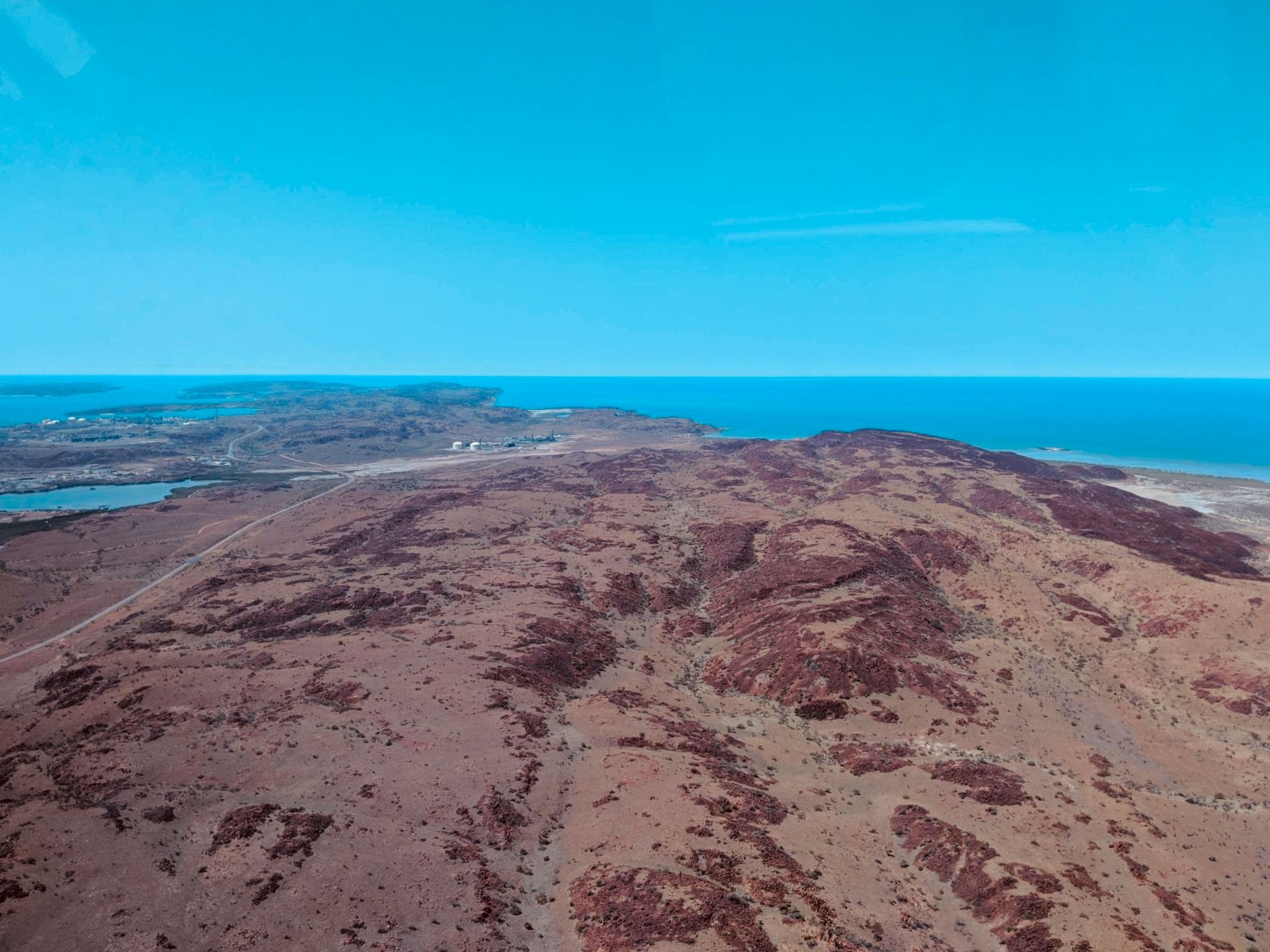
The Dampier Archipelago, in Western Australia, is a series of islands and reefs covering a land area of approximately 400 square kilometres. The Burrup Peninsula, the main feature of the Archipelago, is 27 kilometres long and 4 kilometres wide. It showcases the red earth of the Pilbara region and the turquoise blue of the Indian Ocean meeting together with the white coral sands of the beaches in between.

The Archipelago was formed approximately 8,000 years ago when rising sea levels flooded the coastal plains. The prominent rock features of the area are amongst the oldest known in the world, formed more than 2,400 million years ago.
It is a sacred place, home to Indigenous Australians for over 30 thousand years.
The Yaburrara Aboriginal tribe are the original custodians of the area. They call the area, Murujuga, which means “Hip Bone Sticking Out” in the Yaburrara language. Their story says that beings created the land when the world was soft (others call this the Dreamtime), and the spirits of Ngkurr, Bardi and Gardi still live in the area. The spirits have left their mark in the Marntawarrura, or ‘black hills,’ which are now stained red with their blood.
The Dampier area is home to the largest collection of petroglyphs (ancient rock art) in the world. These petroglyphs are considered to be among the earliest examples of art and are found at over 700 archaeological sites in the area, generally depicting human figures, animals, animal tracks and symbols.
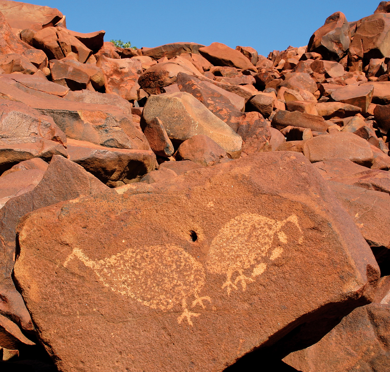
The area is included in the National Heritage List and the Burrup Peninsula is protected by the Murujuga National Park, and shows just a glimpse of the 30,000 year history of our Indigenous peoples in the Pilbara.
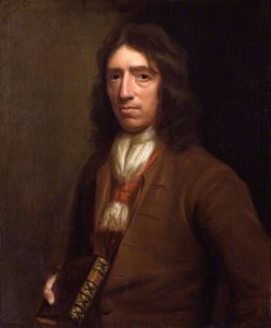
The town of Dampier gets its name from the English navigator William Dampier.
In 1699, Dampier, in command of the 26-gun warship HMS Roebuck on a mission to explore the coast of New Holland, following the Dutch route to the Indies, passed between Dirk Hartog Island and the Western Australian mainland into what he called Shark Bay.
He then followed the coast northeast, and on 21 August 1699 reached the Dampier Archipelago. He, named it Rosemary Island. He then continued to Lagrange Bay, just south of what is now Roebuck Bay, before sailing for Timor.
In 1885, a Government Surveyor F.S. Brockman named the highest hill on the Dampier Island, Mount Burrup in honour of Henry Burrup, a young and well loved Roebourne bank clerk who was murdered earlier that year along with the bank manager at the time, Thomas Anketell.
In 1963, the island was renamed to Dampier and became an artificial peninsula when it was connected to the mainland by a 3km causeway for a road and railway.
In 1965, construction began of the port at Parker Point, and town of Dampier, along with the railway connection between Mt Tom Price and Dampier.
By 1966, the construction of the town of Dampier and the Parker Point iron ore facility and Port operations were completed.
In 1971 Red Dog (a kelpie/cattle dog cross) was born in the town of Paraburdoo and became well known for his travels through Western Australia’s Pilbara region. He was made a member of the Dampier Salts Sport and Social Club and the Transport Workers’ Union. He was also given a bank account with the Bank of New South Wales.
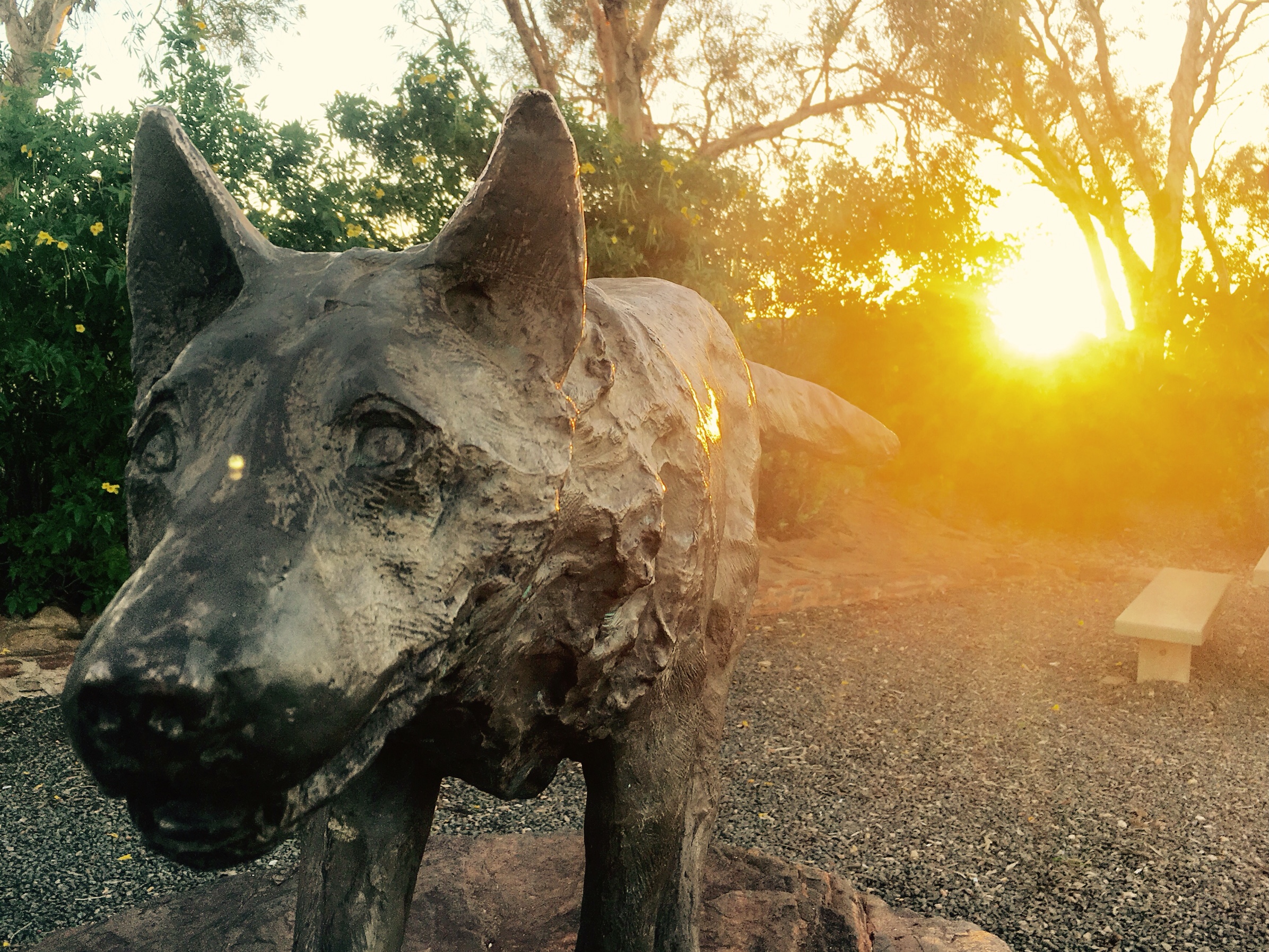
In 1979 Red Dog died. Although he was well liked and had may ‘owners’ to look after him, it is believed that he was intentionally poisoned with strychnine. A statue was installed in his memory in Dampier by the local community. Red Dog is buried in an unmarked grave in the bush around Roebourne.
Later in 1979 Dampier Peninsular was renamed the Burrup Peninsular after Henry Burrup.
Today Dampier has a vibrant community with a population of around 1,200 residents. The port exports petroleum products, salt, iron ore and natural gas. Find out more about the History of the Port.
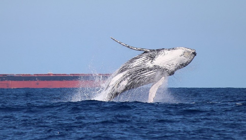
There are 42 islands in the Dampier Archipelago. Many important native plants and animal habitats are found in the region. There is a diverse marine ecosystem around the islands, including whales, dugongs, turtles, and coral.
